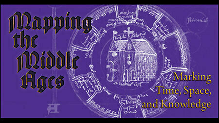
The tension between literal and figurative arrangements of space, time, and knowledge during the Middle Ages is brought to the fore through the primary objects that remain. Geography, whether real or imagined, manifests on the page to convey a variety of spatial arrangements: topography, pilgrimage, peripatetic liturgical procession, and boundary marking. The materiality of medieval manuscript books expresses a similar reality: geographic colophons, the regional markings of book production, devotional locals, and even the dispersing of manuscripts through modern-day biblioclasty. To map the Middle Ages is to journey through the space created by the objects and the individuals who used them. The manuscripts in this installation are drawn from the collection of the University of Notre Dame’s Hesburgh Library.
This exhibit is curated by David T. Gura, Ancient and Medieval Manuscripts Curator. This and other exhibits within the Hesburgh Libraries are generously supported by the McBrien Special Collections Endowment.
All exhibits are free and open to the public during business hours.
Open to Undergraduates, Graduate Students, Postdocs, Faculty, Staff, Public, Alumni, & Friends.